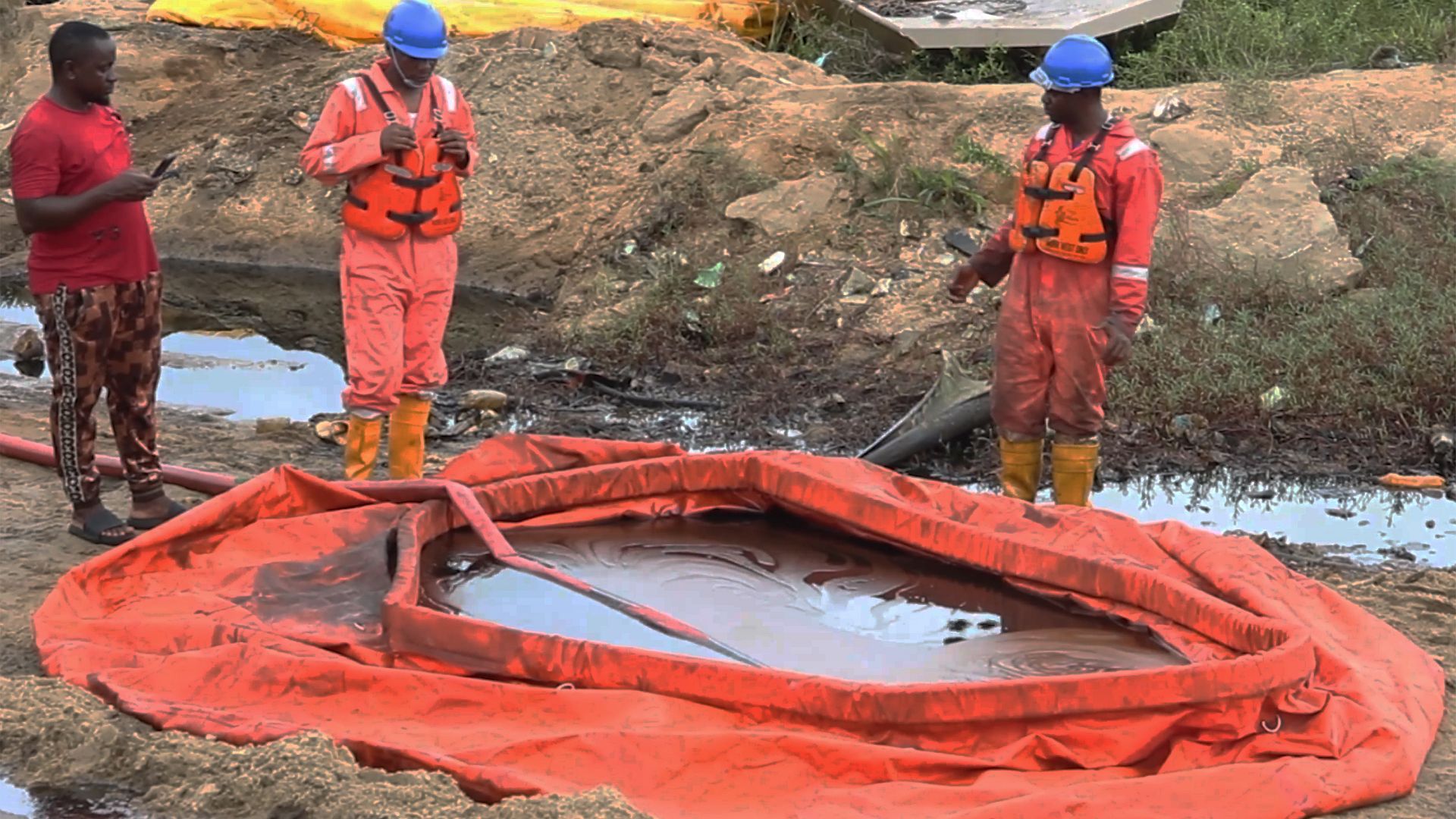
Surface Exploration Survey
Surface exploration is the initial phase in the search for valuable mineral resources. It involves a range of techniques and methods to identify and evaluate mineral deposits near the earth’s surface. This stage is crucial for determining the potential of a site before more invasive and costly exploration methods are employed.
Common surface exploration techniques include geological mapping, geochemical sampling, and geophysical surveys. Geological mapping helps in understanding the rock types and structures present, while geochemical sampling analyzes soil, rock, and water samples for trace elements that may indicate the presence of minerals. Geophysical surveys use instruments to detect variations in the earth’s physical properties, such as magnetism or conductivity, which can signal underlying mineralization.
Remote sensing technologies, such as satellite imagery and aerial photography, have become increasingly important in surface exploration. These tools allow for the rapid assessment of large areas, helping to pinpoint zones of interest for more detailed ground investigations. The integration of digital data and GIS (Geographic Information Systems) further enhances the efficiency and accuracy of exploration programs.
Environmental considerations are an integral part of modern surface exploration. Careful planning and minimal disturbance techniques are employed to reduce the impact on local ecosystems. Regulatory compliance and engagement with local communities are also prioritized to ensure responsible exploration practices.
Ultimately, surface exploration provides the foundation for successful mineral development projects. By systematically collecting and analyzing data, exploration teams can make informed decisions about where to focus further efforts, optimizing resources and increasing the likelihood of discovery.
Surface exploration faces several challenges, including difficult terrain, limited accessibility to remote areas, and the need to minimize environmental impact. Accurate data collection can be hindered by weather conditions and surface cover such as vegetation or urban development. Additionally, distinguishing between economically viable mineralization and background anomalies requires careful analysis and advanced techniques.
Our solution stands out due to its comprehensive approach and use of advanced exploration technologies. By integrating geological, geochemical, and geophysical methods, we ensure accurate and reliable results. Our team prioritizes minimal environmental impact and regulatory compliance, delivering efficient and responsible exploration outcomes that meet client objectives.
Yes, our client was highly satisfied with the results of our surface exploration survey. We provided clear, actionable data that enabled informed decision-making for their project. Our professional approach, timely delivery, and commitment to quality and environmental responsibility were particularly appreciated by the client.